
-
-


-
Wall Color
in
Uncheck to hide the white line Check to show the white line -
-
.




Frame
Room
Gallery
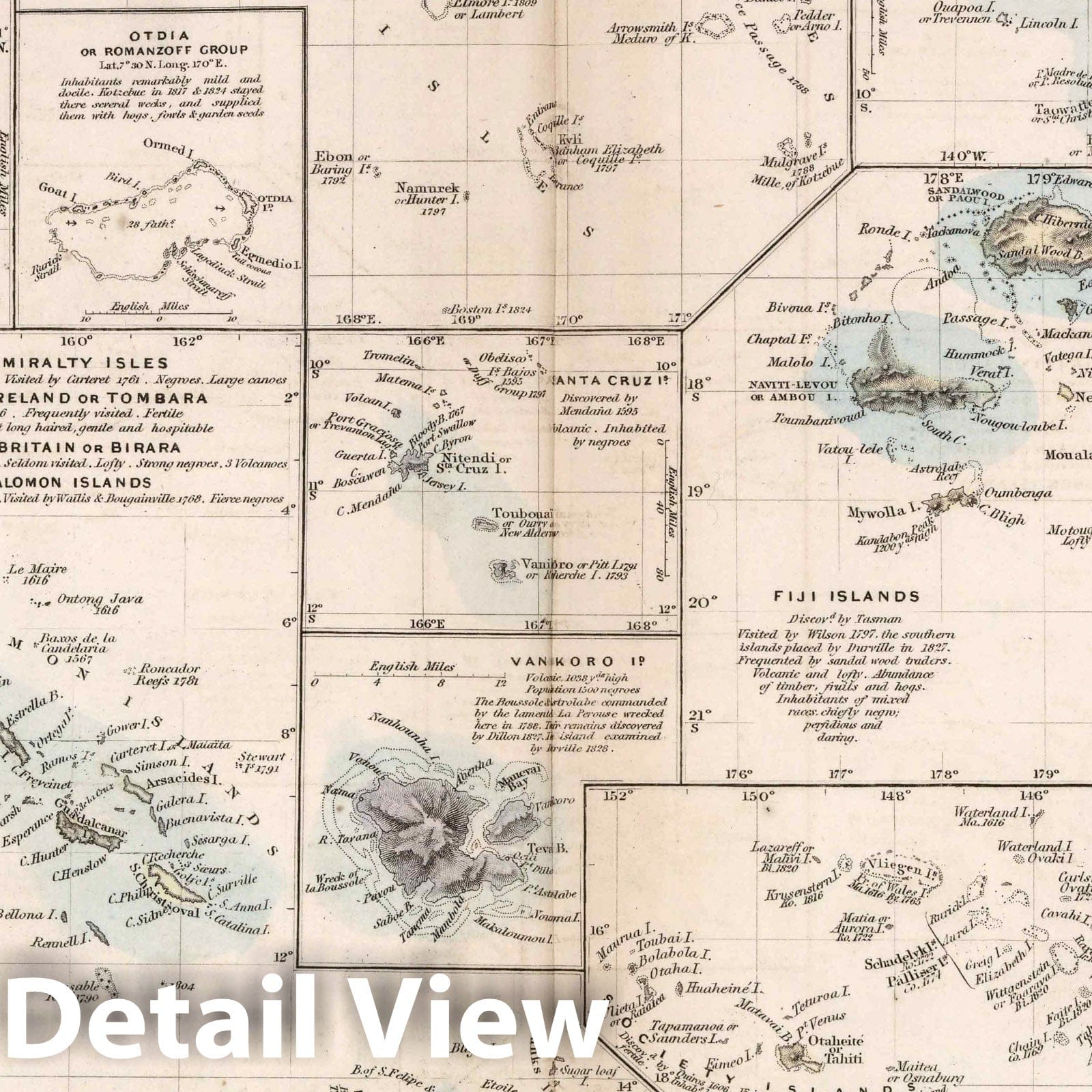
Historic Map : World Atlas Map, Polynesia or islands in the Pacific Ocean 1856 - Vintage Wall Art
Historic Map : World Atlas Map, Polynesia or islands in the Pacific Ocean 1856 - Vintage Wall Art
Note: Sold out or unavailable
Couldn't load pickup availability
Polynesia or islands in the Pacific Ocean. Engraved by J. & C. Walker. London: Edward Stanford, 6, Charing Cross. (to accompany) The Atlas of India, revised by J. Walker ... | The Atlas of India, revised by J. Walker ... selected from the maps published under the superintendence of the Society for the Diffusion of Useful Knowledge, compiled from the latest and most authentic sources, including all the recent geographical discoveries. London: Edward Stanford, 6, Charing Cross. | Revised edition of the Atlas of India, produced by Society for the Diffusion of Useful Knowledge to encourage broad use of maps in education. Date estimated. Includes 26 double page maps, including: 13 of India (an index map and 12 regional maps), 10 maps covering surrounding territories in the Middle East, South Asia and the Far East (including one showing Canton and Macao with an inset of Hong Kong), 1 map of the islands of the Pacific and a map of the world on Mercator's Projection in two sheets. Most sheets engraved by J. and C. Walker. Atlas is bound in half leather dark brown cloth covered boards with "Indian atlas" stamped in gold on the front cover. Maps are hand colored, showing political and administrative divisions, roads, railroads, major cities and towns, fortifications, rivers, canals and lakes. Relief shown by hachures, shading, and pictorially.
We print high quality reproductions of historical maps, photographs, prints, etc. Because of their historical nature, some of these images may show signs of wear and tear - small rips, stains, creases, etc. We believe that in many cases this contributes to the historical character of the item.
- MUSEUM QUALITY INKS AND PAPER: Printed on thick 192gsm heavyweight matte paper with archival giclee inks, this historic fine art will decorate your wall for years to come.
- VINTAGE MAP REPRODUCTION: Add style to any room's decor with this beautiful print. Whether your interior design is modern or classic, a map is never out of fashion.
- ATTENTION TO DETAIL: We edit every antique map for image quality, color and vibrance, so it can look its best while retaining historical character. Makes a great gift!
- FRAME READY: Your unframed poster will arrive crease-free, rolled in a sturdy mailing tube. Many maps fit easy-to-find standard size frames 16x20, 16x24, 18x24, 24x30, 24x36, saving on custom framing.
- Watermarks will not appear in the printed picture. Some blemishes, tears, or stamps may be removed from the final print.
Why choose Historic Pictoric
Every artwork we offer is carefully edited by our small but dedicated team of image professionals, ensuring each detail is perfect. We print every order to demand right here in the USA, treating every piece with the same care and attention we would give our own work. From editing to printing to packaging, we take pride in delivering artwork that meets our high standards—and we love knowing it’s heading to a home where it will be appreciated.
- Choosing a selection results in a full page refresh.
- Opens in a new window.