-
-


-
Wall Color
in
Uncheck to hide the white line Check to show the white line -
-
.


Frame
Room
Gallery
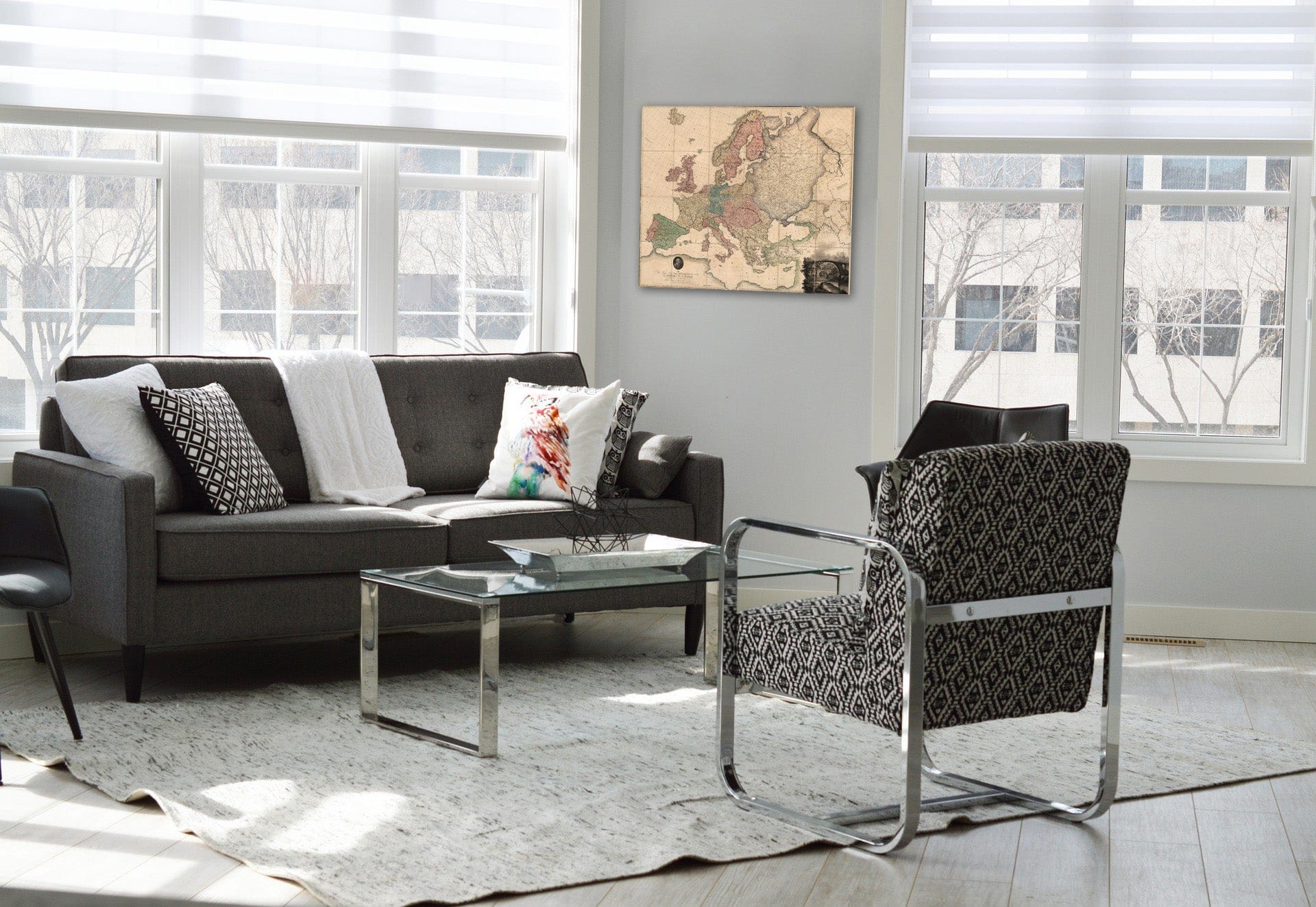
Historic Map : Composite: Map of Europe, 1796 - Vintage Wall Art
Historic Map : Composite: Map of Europe, 1796 - Vintage Wall Art
Note: Sold out or unavailable
Couldn't load pickup availability
(Composite map of) Map of Europe Drawn from all the Best Surveys, and Rectified by Astronomical Observations by A. Arrowsmith, Geographer. Charles Street, Soho, London. To the Right Hon.ble Sir Joseph Banks Bart. K.B. One of his Majesty's most Honorable Privy Council, and President of the Royal Society, This Map is Respectfully Dedicated by His much obliged Humble Sertv.t, A. Arrowsmith | Map of Europe Drawn from all the Best Surveys, and Rectified by Astronomical Observations by A. Arrowsmith, Geographer. Charles Street, Soho, London. To the Right Hon.ble Sir Joseph Banks Bart. K.B. One of his Majesty's most Honorable Privy Council, and President of the Royal Society, This Map is Respectfully Dedicated by His much obliged Humble Sertv.t, A. Arrowsmith | Aaron Arrowsmith (1750-1823) was the finest cartographer of his generation. Although he received little formal education it is believed that he was taught some mathematical instruction by William Emerson, an author of several books on the application of mathematics to the area of cartography. Around 1770, Arrowsmith moved to London to seek employment. It is believed that he worked for William Faden before joining John Cary Sr. in the early 1780s. There he provided the measurements for John Cary's early publication detailing the roads from London to Falmouth, his first signed work. Arrowsmith set up on his own n 1790 and over the next thirty years produced some of the most beautiful and elegant maps of the era.
We print high quality reproductions of historical maps, photographs, prints, etc. Because of their historical nature, some of these images may show signs of wear and tear - small rips, stains, creases, etc. We believe that in many cases this contributes to the historical character of the item.
- MUSEUM QUALITY INKS AND PAPER: Printed on thick 192gsm heavyweight matte paper with archival giclee inks, this historic fine art will decorate your wall for years to come.
- VINTAGE MAP REPRODUCTION: Add style to any room's decor with this beautiful print. Whether your interior design is modern or classic, a map is never out of fashion.
- ATTENTION TO DETAIL: We edit every antique map for image quality, color and vibrance, so it can look its best while retaining historical character. Makes a great gift!
- FRAME READY: Your unframed poster will arrive crease-free, rolled in a sturdy mailing tube. Many maps fit easy-to-find standard size frames 16x20, 16x24, 18x24, 24x30, 24x36, saving on custom framing.
- Watermarks will not appear in the printed picture. Some blemishes, tears, or stamps may be removed from the final print.
Why choose Historic Pictoric
Every artwork we offer is carefully edited by our small but dedicated team of image professionals, ensuring each detail is perfect. We print every order to demand right here in the USA, treating every piece with the same care and attention we would give our own work. From editing to printing to packaging, we take pride in delivering artwork that meets our high standards—and we love knowing it’s heading to a home where it will be appreciated.