-
-


-
Wall Color
in
Uncheck to hide the white line Check to show the white line -
-
.


Frame
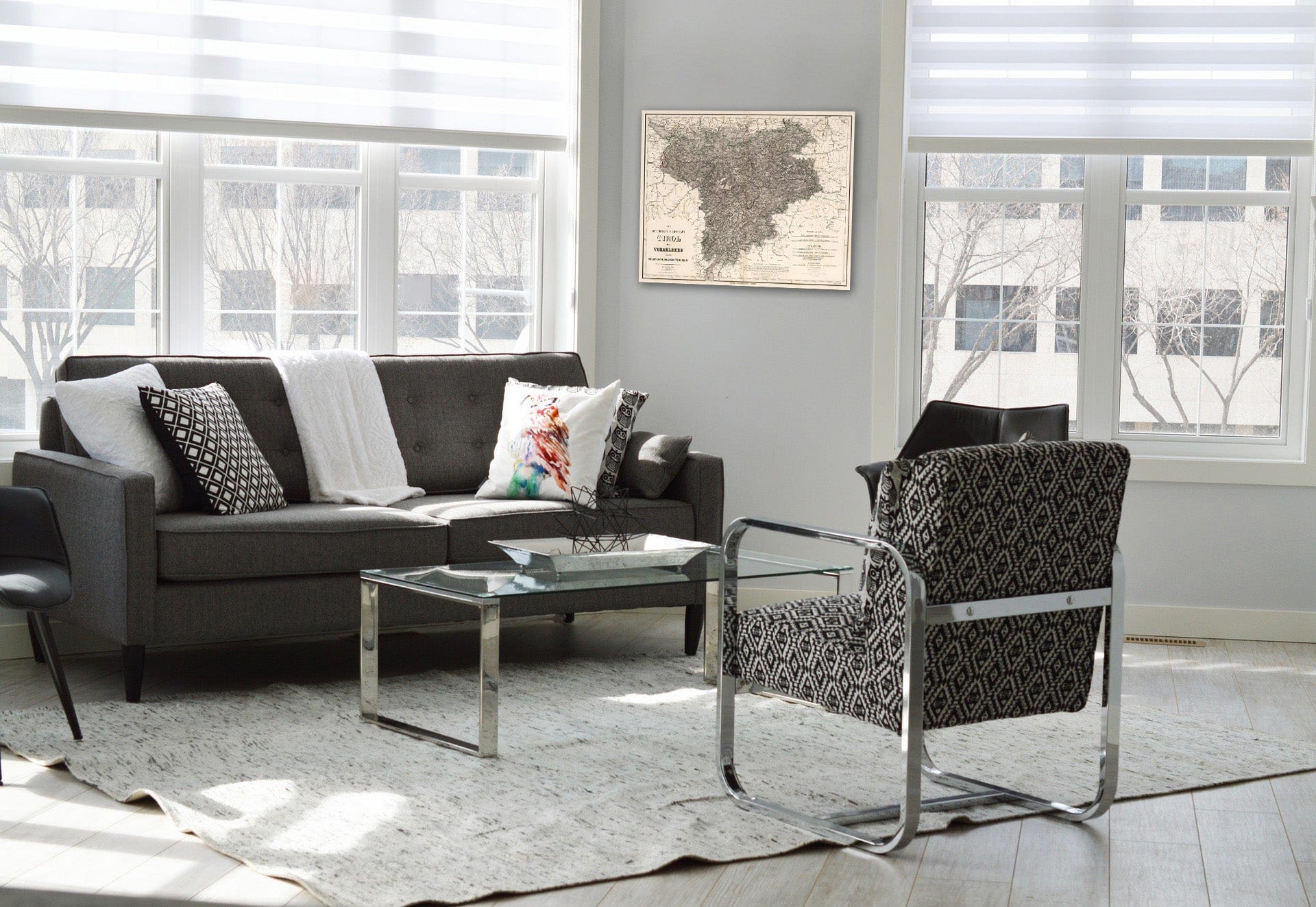
Room
Gallery
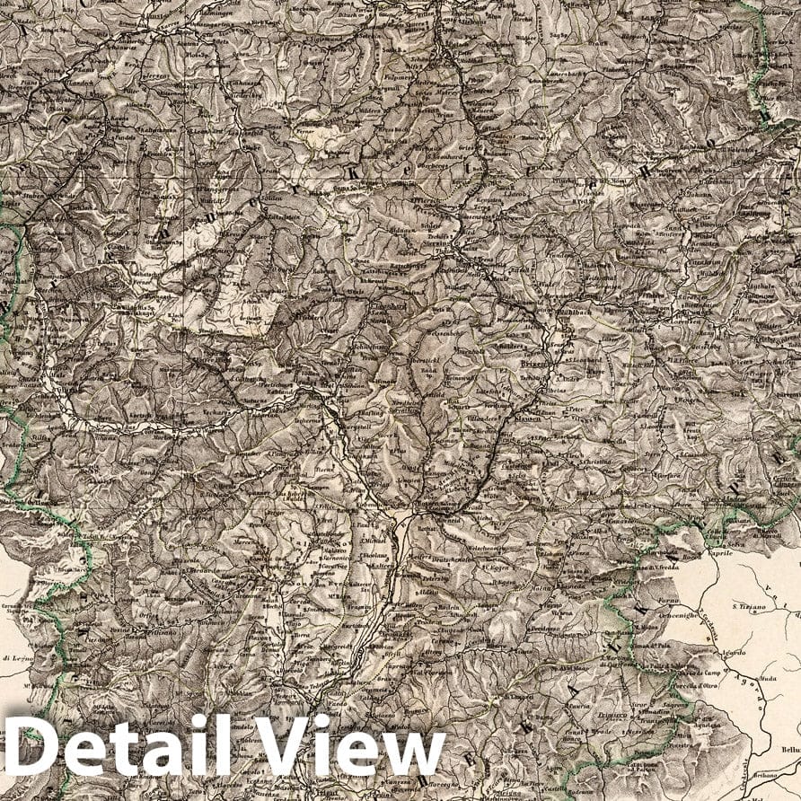
Historic Wall Map : Austria, Innsbruck Region (Austria)Die gefurstete Grafschaft : Tirol mit Vorarlberg und das Furstenthum Liechtenstein 1864 , Vintage Wall Art
Historic Wall Map : Austria, Innsbruck Region (Austria)Die gefurstete Grafschaft : Tirol mit Vorarlberg und das Furstenthum Liechtenstein 1864 , Vintage Wall Art
Note: Sold out or unavailable
Couldn't load pickup availability
Die gefurstete Grafschaft : Tirol mit Vorarlberg und das Furstenthum Liechtenstein. Bearbeitet von C. Graf. Revidirt 1864. Situation u. Schrift v. T. Luther u. C. Hensgen,Terrain von V. Geyer. Weimar, Geographisches Institut. (to accompany) Hand - Atlas Der Erde Und Des Himmels. | Hand - Atlas Der Erde Und Des Himmels. In siebzig Blattern. Zweiundvierzigste Auflage. Bearbeitet Von Dr. H. Kiepert, C. Graf, A. Graf Und Dr. C. Bruhns. Weimar, Geographisches Institut. | This 42nd edition is the first one in Which the brothers Carl and Adolf Graef are mentioned as the authors. Maps by H. Kiepert, Graf & Bruhns. Listed in Phillips under Kiepert. Many of the maps are now lithographed, although some are engraved, outline color, 70 � 57 or smaller. Covers are half leather black marbled paper covered boards. The atlas was published in installments, maps are dated from 1856 to 1867. The first map sheets Appeared in 1856. Copies from the years 1857-1860 were supplemented with maps from the 41st edition. The first 2 maps are world maps: the hemispheres and a world map in Mercator's projection. Followed by 3 thematic maps: two physical ones and a sheet of mountain profiles. Next are 2 maps of Europe, 23 maps of Austria and Germany, France printed in 4 sheets, and 19 maps of the other European countries, 5 maps of Asia, 4 of Africa, another 7 of the Americas and 2 of Australia/Oceania.
We print high quality reproductions of historical maps, photographs, prints, etc. Because of their historical nature, some of these images may show signs of wear and tear - small rips, stains, creases, etc. We believe that in many cases this contributes to the historical character of the item.
- MUSEUM QUALITY INKS AND PAPER: Printed on thick 192gsm heavyweight matte paper with archival giclee inks, this historic fine art will decorate your wall for years to come.
- VINTAGE MAP REPRODUCTION: Add style to any room's decor with this beautiful print. Whether your interior design is modern or classic, a map is never out of fashion.
- ATTENTION TO DETAIL: We edit every antique map for image quality, color and vibrance, so it can look its best while retaining historical character. Makes a great gift!
- FRAME READY: Your unframed poster will arrive crease-free, rolled in a sturdy mailing tube. Many maps fit easy-to-find standard size frames 16x20, 16x24, 18x24, 24x30, 24x36, saving on custom framing.
- Watermarks will not appear in the printed picture. Some blemishes, tears, or stamps may be removed from the final print.
Why choose Historic Pictoric
Every artwork we offer is carefully edited by our small but dedicated team of image professionals, ensuring each detail is perfect. We print every order to demand right here in the USA, treating every piece with the same care and attention we would give our own work. From editing to printing to packaging, we take pride in delivering artwork that meets our high standards—and we love knowing it’s heading to a home where it will be appreciated.