-
-


-
Wall Color
in
Uncheck to hide the white line Check to show the white line -
-
.


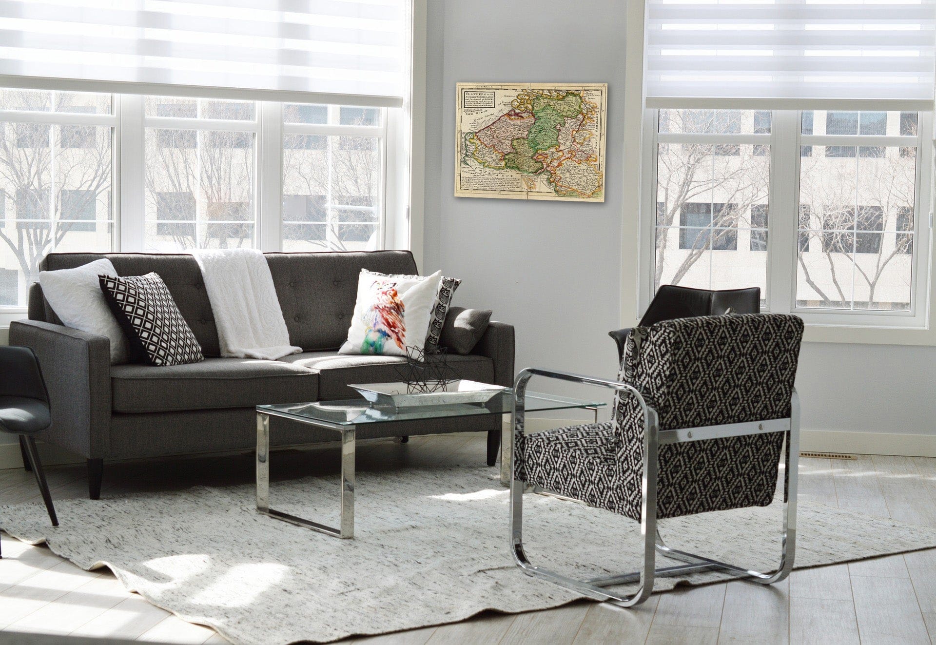

Frame
Room
Gallery
Historic Map : World Atlas Map, Flanders or the Austrian Netherlands. 1736 - Vintage Wall Art
Historic Map : World Atlas Map, Flanders or the Austrian Netherlands. 1736 - Vintage Wall Art
Note: Sold out or unavailable
Couldn't load pickup availability
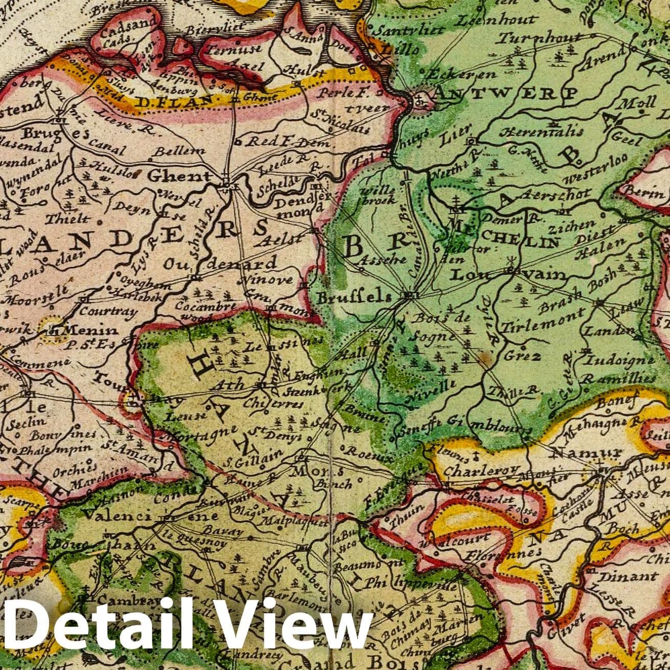
Flanders or the Austrian Netherlands. With ye Bishoprick of Liege. Distinguishing what belongs to France, Holland & agreeable to modern history. By H. Moll Geogr. (Printed and sold by T. Bowles next ye Chapter House in St. Pauls Church yard, & I. Bowles at ye Black Horse in Cornhill, 1736?) | Atlas minor: or a new and curious set of sixty-two maps, in which are shewn all the empires, kingdoms, countries, states, in all the known parts of the earth; with their bounds, divisions, chief cities & towns, the whole composed & laid down agreable to modern history. By Herman Moll, Geographer. (3rd ed.) London, Printed for Thos. Bowles in St. Pauls Church Yard & John Bowles at the Black Horse in Cornhill (1736?) | Contains 62 hand col. double-page engraved maps (10 folding). Contemporary ink inscription on front blank endpaper. Newer full polished calf with original gilt-lettered red leather label. A few minor repairs. The Atlas Minor was first published in 1729 and reprinted in 1732. This ed. has new engraved title-page with contents and revised maps. The maps in the third ed. are similar to those of the 2nd, except that a number of the American maps contain added place names. Like most of Moll's works, the majority of the maps are undated, although the maps of Great Tartary (no. 32) and "The West Part of Barbary" (no. 41) are dated 1732. The deciding factor which makes this copy the 3rd. ed. is map no. 13 (Germany) which carries the added legend, "Lorrain was ceded to France A.D. 1736 ..." Includes 29 maps of Europe, 10 of Asia, 5 of Africa and 18 of the Americas, including the double-hemisphere world map (no. 1) and the map of America (no. 45) that show California as an island.
- MUSEUM QUALITY INKS AND PAPER: Printed on thick 192gsm heavyweight matte paper with archival giclee inks, this historic fine art will decorate your wall for years to come.
- VINTAGE MAP REPRODUCTION: Add style to any room's decor with this beautiful print. Whether your interior design is modern or classic, a map is never out of fashion.
- ATTENTION TO DETAIL: We edit every antique map for image quality, color and vibrance, so it can look its best while retaining historical character. Makes a great gift!
- FRAME READY: Your unframed poster will arrive crease-free, rolled in a sturdy mailing tube. Many maps fit easy-to-find standard size frames 16x20, 16x24, 18x24, 24x30, 24x36, saving on custom framing.
- Watermarks will not appear in the printed picture. Some blemishes, tears, or stamps may be removed from the final print.
Why choose Historic Pictoric
Every artwork we offer is carefully edited by our small but dedicated team of image professionals, ensuring each detail is perfect. We print every order to demand right here in the USA, treating every piece with the same care and attention we would give our own work. From editing to printing to packaging, we take pride in delivering artwork that meets our high standards—and we love knowing it’s heading to a home where it will be appreciated.