-
-


-
Wall Color
in
Uncheck to hide the white line Check to show the white line -
-
.


Frame
Room
Gallery
Historic Map : New railroad map of the United States. Canada, Mexico and the West Indies, 1875 - Vintage Wall Art
Historic Map : New railroad map of the United States. Canada, Mexico and the West Indies, 1875 - Vintage Wall Art
Note: Sold out or unavailable
Couldn't load pickup availability
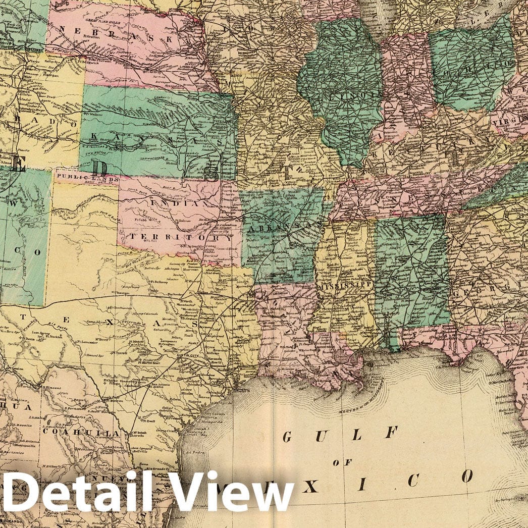
New railroad map of the United States, the Dominion of Canada, Mexico and the West Indies. (Published by the Andreas Atlas Co., Lakeside Building, Chicago, Ills. Engraved & printed by Chas. Shober & Co., Props. of Chicago Lithographing Co.) | A.T. Andreas' illustrated historical atlas of the State of Iowa. 1875. (7th Congressional District ed.). Published by the Andreas Atlas Co., Lakeside Building, Chicago, Ills. Engraved & printed by Chas. Shober & Co., Props. of Chicago Lithographing Co. | Edition with views from the 7th Congressional District. Andreas made 9 separate editions of this atlas, one for each of the 9 Congressional Districts; each district ed. had special views of that district. See the reprint ed. by the Iowa Historical Society for a complete reproduction of all district views, as well as a discussion of the marketing technique in the preface. A second title page precedes the illustrated title page reading "A.T. Andreas' illustrated historical atlas of the State of Iowa. 1875. The Lakeside Press, Clark and Adams Streets, Chicago." Full color, both hand painted and printed. Bound in half leather embossed dark brown cloth covered boards with "Illustrated historical atlas of the State of Iowa 1875." in gilt; title is also blind stamped on the back cover. Not in Phillips Maps of America. Irregular paging.
We print high quality reproductions of historical maps, photographs, prints, etc. Because of their historical nature, some of these images may show signs of wear and tear - small rips, stains, creases, etc. We believe that in many cases this contributes to the historical character of the item.
- MUSEUM QUALITY INKS AND PAPER: Printed on thick 192gsm heavyweight matte paper with archival giclee inks, this historic fine art will decorate your wall for years to come.
- VINTAGE MAP REPRODUCTION: Add style to any room's decor with this beautiful print. Whether your interior design is modern or classic, a map is never out of fashion.
- ATTENTION TO DETAIL: We edit every antique map for image quality, color and vibrance, so it can look its best while retaining historical character. Makes a great gift!
- FRAME READY: Your unframed poster will arrive crease-free, rolled in a sturdy mailing tube. Many maps fit easy-to-find standard size frames 16x20, 16x24, 18x24, 24x30, 24x36, saving on custom framing.
- Watermarks will not appear in the printed picture. Some blemishes, tears, or stamps may be removed from the final print.
Why choose Historic Pictoric
Every artwork we offer is carefully edited by our small but dedicated team of image professionals, ensuring each detail is perfect. We print every order to demand right here in the USA, treating every piece with the same care and attention we would give our own work. From editing to printing to packaging, we take pride in delivering artwork that meets our high standards—and we love knowing it’s heading to a home where it will be appreciated.